Explore
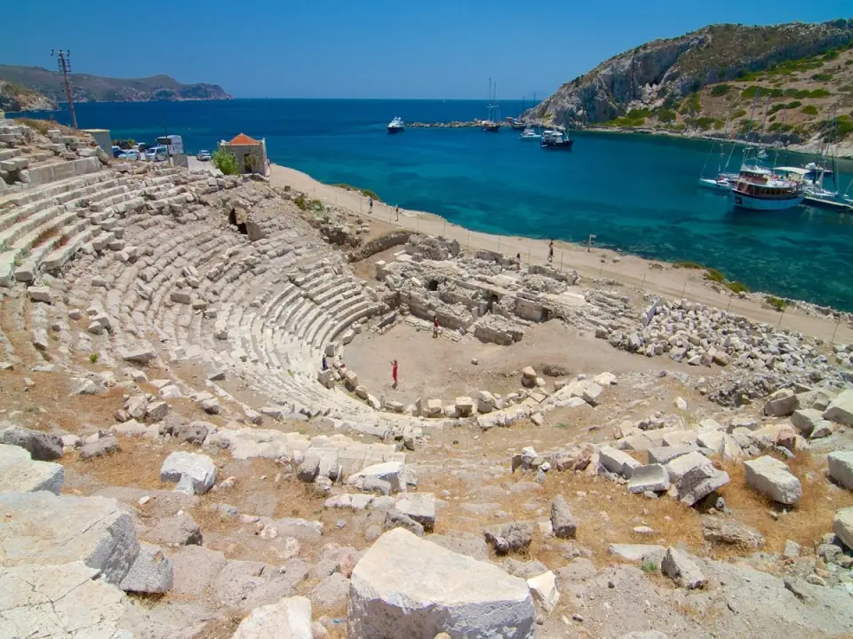
14 placesSanctuary of Apollo at Emecik
An Archaic sanctuary of Apollo in the peninsula's east
~14 kmAbout 1 hour
Carian Trail (Datça sections)
A waymarked path through villages, olive groves and coves
From half-day stretches to several days
Carian Trail (Datça sections)
A waymarked path through villages, olive groves and coves
- Suggested time
- From half-day stretches to several days
- Best time
- March–May · late September–November
- Entry
- Free
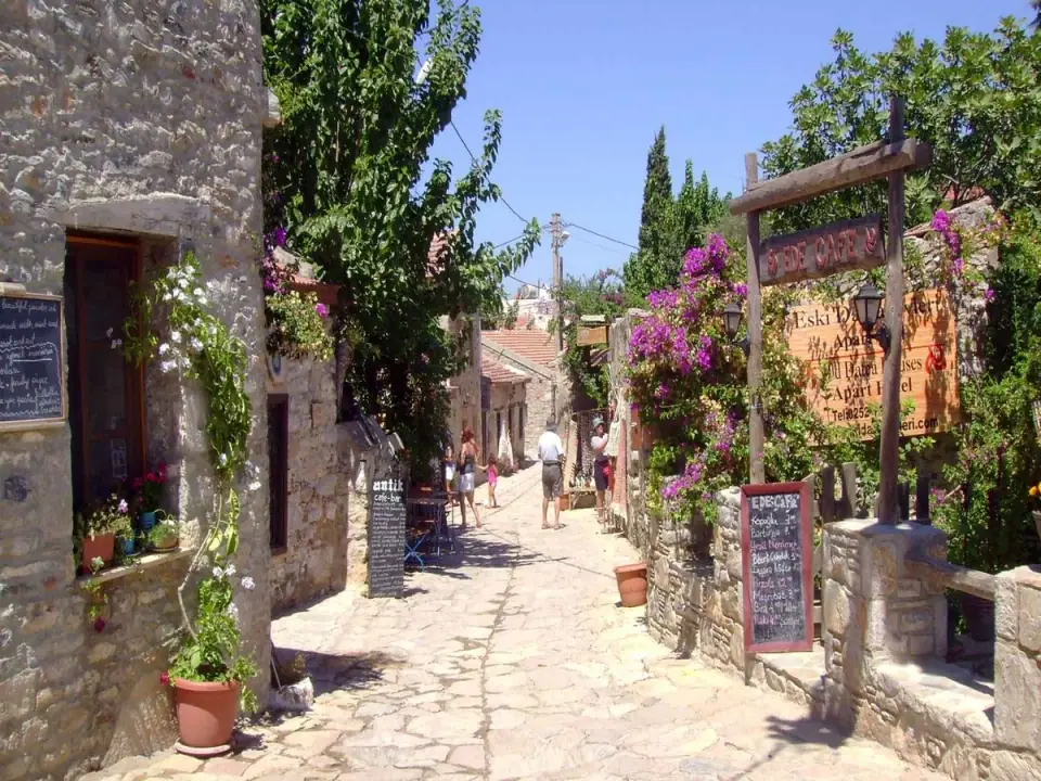
The Carian Trail is a waymarked long-distance hiking route of more than 800 km that follows the ancient region of Caria, mostly within Muğla province. Opened to walkers in the 2010s, it links the Bozburun and Datça peninsulas, the shores of the Gulf of Gökova and the hinterland. Footpaths, old village tracks and forest roads follow one another along the way; some stretches pass through village squares, others along lonely ridges.
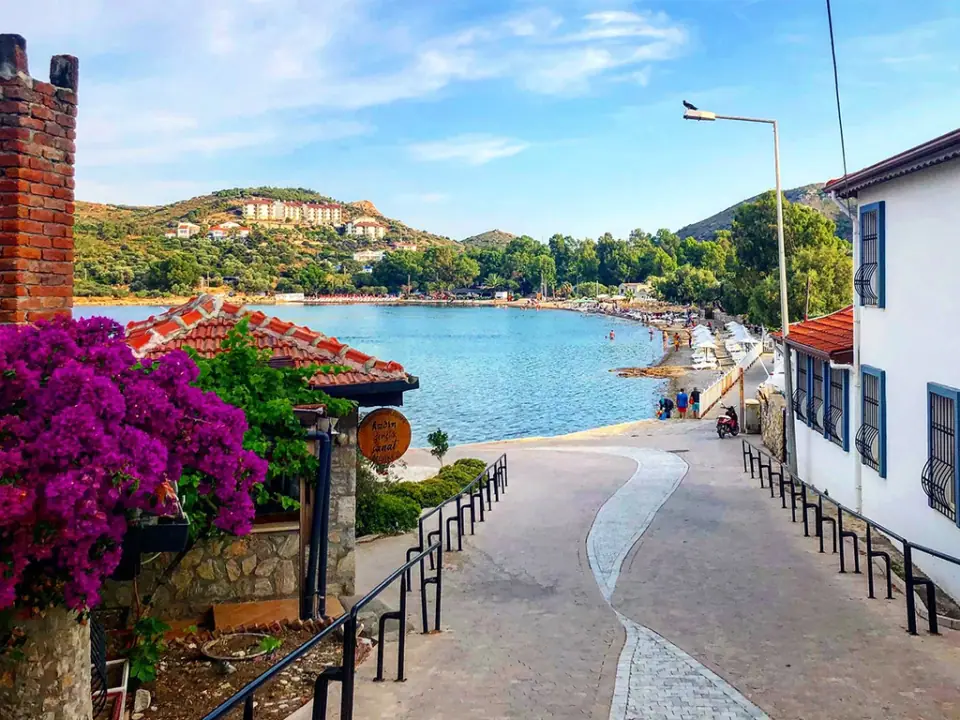
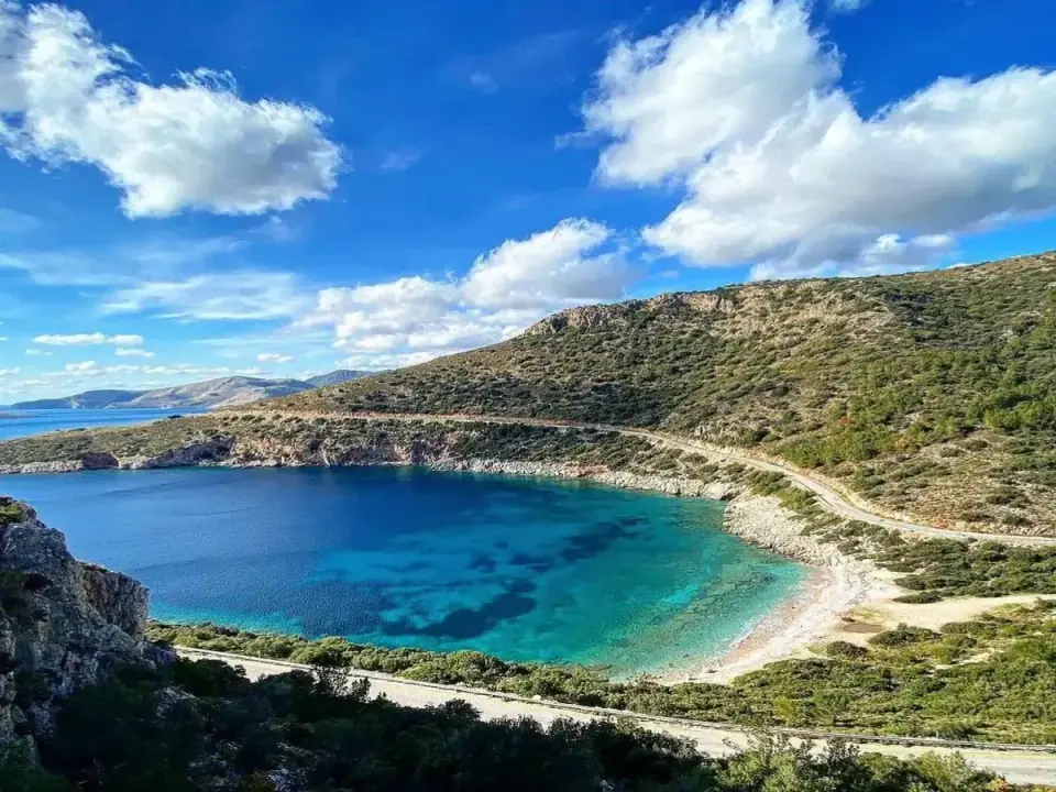
The Datça sections start in Eski Datça, run out to Knidos at the western tip and then turn back east, with stops such as Mesudiye, Palamutbükü, Knidos, Kızlan, Emecik and Balıkaşıran along the way. You walk through olive and almond groves, pine woods and scrub-covered hillsides, and where the path drops to the shore there's often a chance to swim in a cove. The Datça and Bozburun peninsulas are a designated Special Environmental Protection Area.
Spring and autumn are the best seasons. From March to May the hillsides turn green and flower; from late September into November the weather is again kind to walkers. The mild winters also offer good walking days, though paths can be muddy and slippery after rain. In summer, the heat and long unshaded stretches make walking hard going, and potentially dangerous.
The route is marked with red-and-white paint stripes, but marks can be faded or missing in places, so carry an offline map or GPS track, tell someone your plans and take plenty of water. Rather than walking all the Datça sections end to end, you can plan stretches between villages as day hikes; just arrange a taxi or a lift back in advance.
Highlights
- Waymarked paths starting from Eski Datça
- Olive and almond groves, pine woods and scrubby hillsides
- Swim stops where the path meets the sea
- Stops such as Mesudiye, Palamutbükü, Knidos and Kızlan
Good to know
- Avoid walking in summer, or stick to the very early morning.
- Carry plenty of water, as some stretches have no reliable source.
- Paint marks can be faded in places; carry an offline map or GPS track.
- Wear supportive boots with good grip, and tell someone your route and expected return time.
Tours that stop here
Mentioned in
 Planning3 min read
When to Visit Datça
Nearby
Nature