Explore
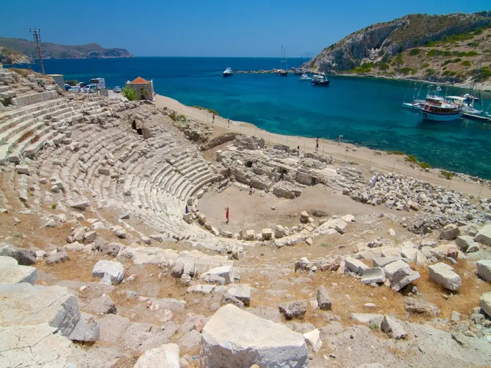
14 placesSanctuary of Apollo at Emecik
An Archaic sanctuary of Apollo in the peninsula's east
~14 kmAbout 1 hour
Carian Trail (Datça sections)
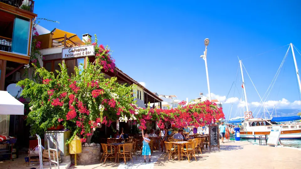
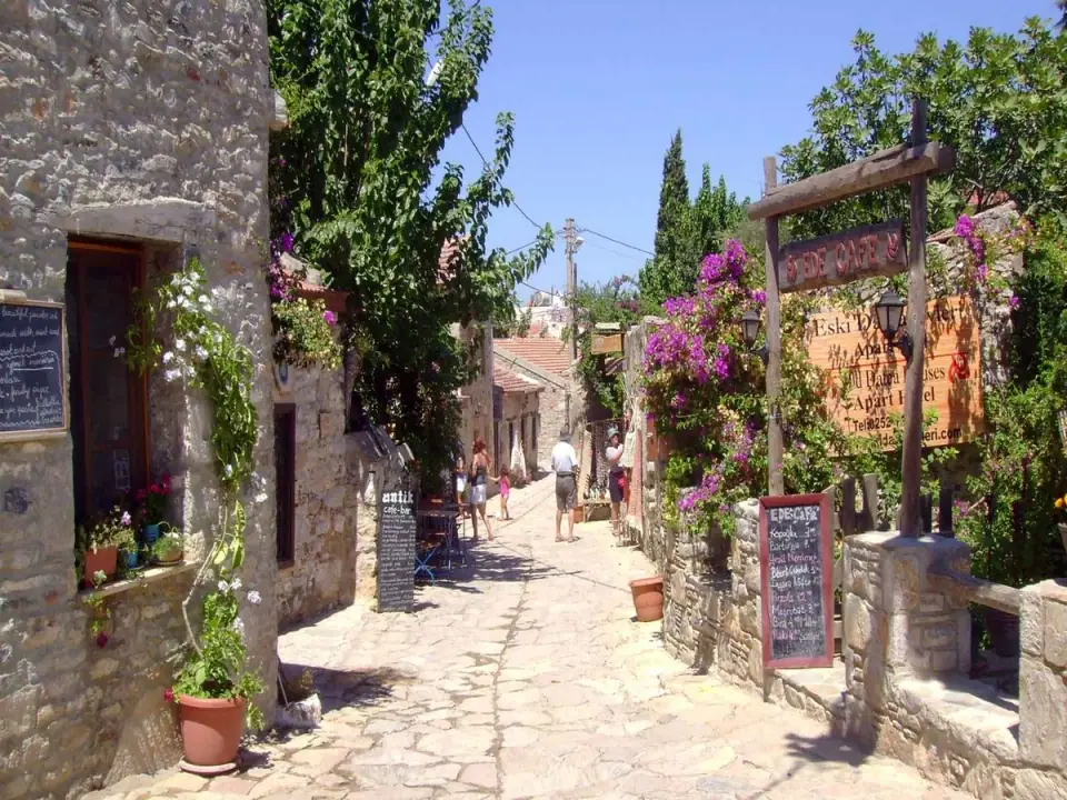
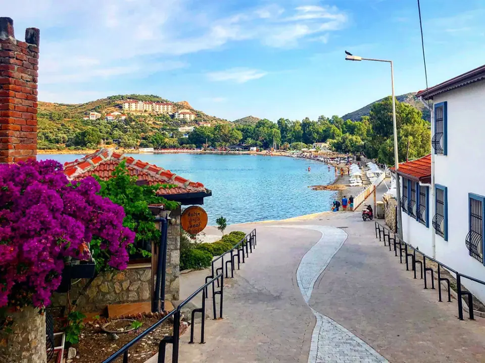
A waymarked path through villages, olive groves and coves
From half-day stretches to several days
Balıkaşıran & Bencik Bay
The isthmus the Knidians tried to cut, and a sheltered inlet
- From the centre
- ~45 km
- Suggested time
- 1–2 hours
- Best time
- Spring and autumn
About 45 km from Datça towards Marmaris, the peninsula pinches in. At Balıkaşıran, the strip of land between the Gulf of Gökova to the north and the Gulf of Hisarönü to the south is less than a kilometre wide. Locally, the name, roughly “where the fish jump across”, is said to describe a neck of land so narrow that fish could leap from one sea to the other. The whole length of the peninsula to the west hangs on to the mainland by this narrow neck, and the Datça–Marmaris road crosses it here.
This isthmus is generally identified as the scene of a story told by Herodotus (Histories 1.174). In the 6th century BC, as Harpagus, general of the Persian king Cyrus, advanced through the region, the Knidians set out to dig through the isthmus and turn their land into an island. But flying splinters of rock injured the workers to an unusual degree, especially in the eyes. The Knidians consulted the oracle at Delphi, and the reply was blunt: “Do not fortify the isthmus, nor dig it through; Zeus would have made it an island had he wished.” They abandoned the work, and when Harpagus arrived with his army they surrendered without a fight.
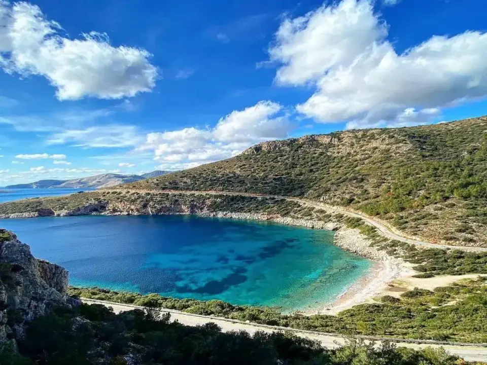
On the south side of the isthmus, Bencik Bay, long, narrow and fjord-like, winds inland from the Gulf of Hisarönü. The surrounding ridges block much of the summer meltem, so the water inside is often flat, which makes Bencik a well-known sheltered anchorage for yachts and gulets. There's little settlement along its shores, and wooded slopes run almost down to the water.
Balıkaşıran is easy to reach by road, but road access to Bencik's shores is limited, and most people see the bay from the water, on a yacht or a boat trip. The Carian Trail passes through Balıkaşıran too, and a stop here combines easily with a visit to Emecik or a drive on towards Marmaris. Even a few minutes at the isthmus are enough to see why the Knidians once wanted to turn their peninsula into an island.
Highlights
- The peninsula's narrowest point, an isthmus under a kilometre wide
- The Knidian canal story told by Herodotus
- Bencik, a sheltered, fjord-like inlet
- A stop on the Carian Trail
Good to know
- Only pull off the road where there's a safe lay-by or a wide verge.
- Road access to Bencik is limited; consider seeing the bay by boat or yacht.
- This is a protected natural area: take your rubbish with you and never light fires.
Mentioned in
- Planning3 min read
A Guide to Datça's Coves: Where to Swim and When
Nearby
History
Sanctuary of Apollo at Emecik
An Archaic sanctuary of Apollo in the peninsula's east
~14 kmAbout 1 hourCarian Trail (Datça sections)
A waymarked path through villages, olive groves and coves
From half-day stretches to several days